
Geographic Information Systems
There’s a growing market for professionals with critical thinking skills who understand how to use geographic information systems to affect change. The Geographic Information Systems (GIS) certificate from PennWest will prepare you to do just that. Whether you’re passionate about climate change, conservation or work in other environmental areas, or seek a career in an industry or government agency that requires expertise in the design, implementation and analysis of spatial information, the GIS certificate can propel you forward.
It’s the perfect complement to your bachelor’s degree and a proven way to enhance your career potential.
Under the guidance of expert faculty from PennWest’s Environmental Science department, you’ll acquire a wide variety of technical and applied skills, including how to collect, compile and analyze different types of geographical data, how to plan and design geographical databases, integrate GIS data from a variety of online sources, manipulate metadata and more. In addition, you’ll explore aerial photographs and satellite images and apply remote sensing to topographic and planimetric map construction for use in agricultural and land identification, landform study and forestry. This certificate also fulfills some of the requirements for GISP, ASPRS and Esri certification.
This program is for you if...
- You are interested in developing skillsets with geospatial technologies and GIS software.
- You enjoy solving spatial problems and analyzing geographic data.
- You seek to enhance your career with skills in geospatial data handling and integration.
- You want the flexibility of an online program to accommodate a busy schedule.
- You are aiming for professional certification and advancement in fields requiring GIS expertise.

-
Global Online

-
15 Credits for Certificate
What You'll Study
In the Geographic Information Systems (GIS) online certificate program at PennWest University, you'll study a comprehensive curriculum that covers the collection, compilation, and analysis of geographical data. You will learn to design and manage geographic databases, integrate GIS data from various online sources, and manipulate metadata. The program also includes training in remote sensing, aerial photograph interpretation, and the use of satellite images for topographic and planimetric map construction. These skills are applicable in fields like agriculture, forestry, conservation, and urban planning.

Degrees, Certificates
Meet Our Faculty
Our faculty are not just instructors; they are mentors, researchers, and industry professionals committed to providing an education grounded in real-world experiences and academic excellence. From engaging classroom discussions to hands-on experiential learning, our educators are here to support and inspire you every step of the way.
Concentrations
There are no concentrations for this program.
What You'll Become
As a graduate of the Geographic Information Systems (GIS) online certificate program at PennWest University, you'll become a proficient GIS specialist, equipped with technical and applied skills in geospatial data analysis. You'll be prepared for roles in various industries, including environmental science, urban planning, conservation, and government agencies. Your expertise in GIS software, database management, remote sensing, and spatial data integration will position you as a valuable asset in the growing field of geographic information systems, enhancing your career prospects and professional credentials.
Career Paths
- Geographic Information Systems Technologists and Technicians
- Cartographers
- Conservation Scientists
- Remote Sensing Technicians
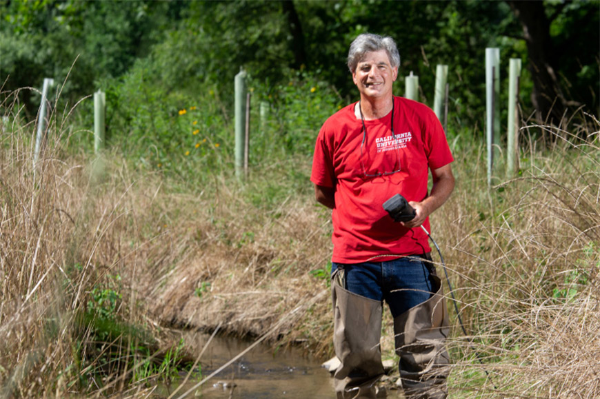
PennWest earns 2024 Governor’s Award for Environmental Excellence
PennWest University is among the recipients of the 2024 Governor’s Award for Environmental Excellence for wetlands restoration work at Presque Isle State Park.
How We'll Help You Succeed
At PennWest Global Online, we prioritize your success and well-being from the moment you join our community. Our comprehensive student support system is designed to meet you where you are, offering personalized guidance, academic assistance, and emotional support to ensure you can fully focus on your studies and personal growth. Whether you're a first-generation college student, returning for further education, or navigating career changes, our dedicated faculty and staff provide the encouragement and resources you need to overcome challenges and thrive. With a wide range of services from tutoring and career counseling to mental health resources, PennWest stands by your side, empowering you to achieve your academic goals and prepare for a successful future. Join us at PennWest, where you're not just a student; you're part of a supportive family committed to helping you find your place in the world.
In demand
Indeed.com says many companies and industries use GIS to gather data and improve products and services.
-
Affordable Programs
Tuition & FeesDiscover quality education that fits your budget with our affordable programs at PennWest.
-
Success Coaching
Success at PennWestAchieve your academic goals with personalized guidance from our dedicated student success coaches.
-
Post-Graduation Support
Life After PennWestWe're here for you even after graduation, providing support and resources to help you succeed in your career.